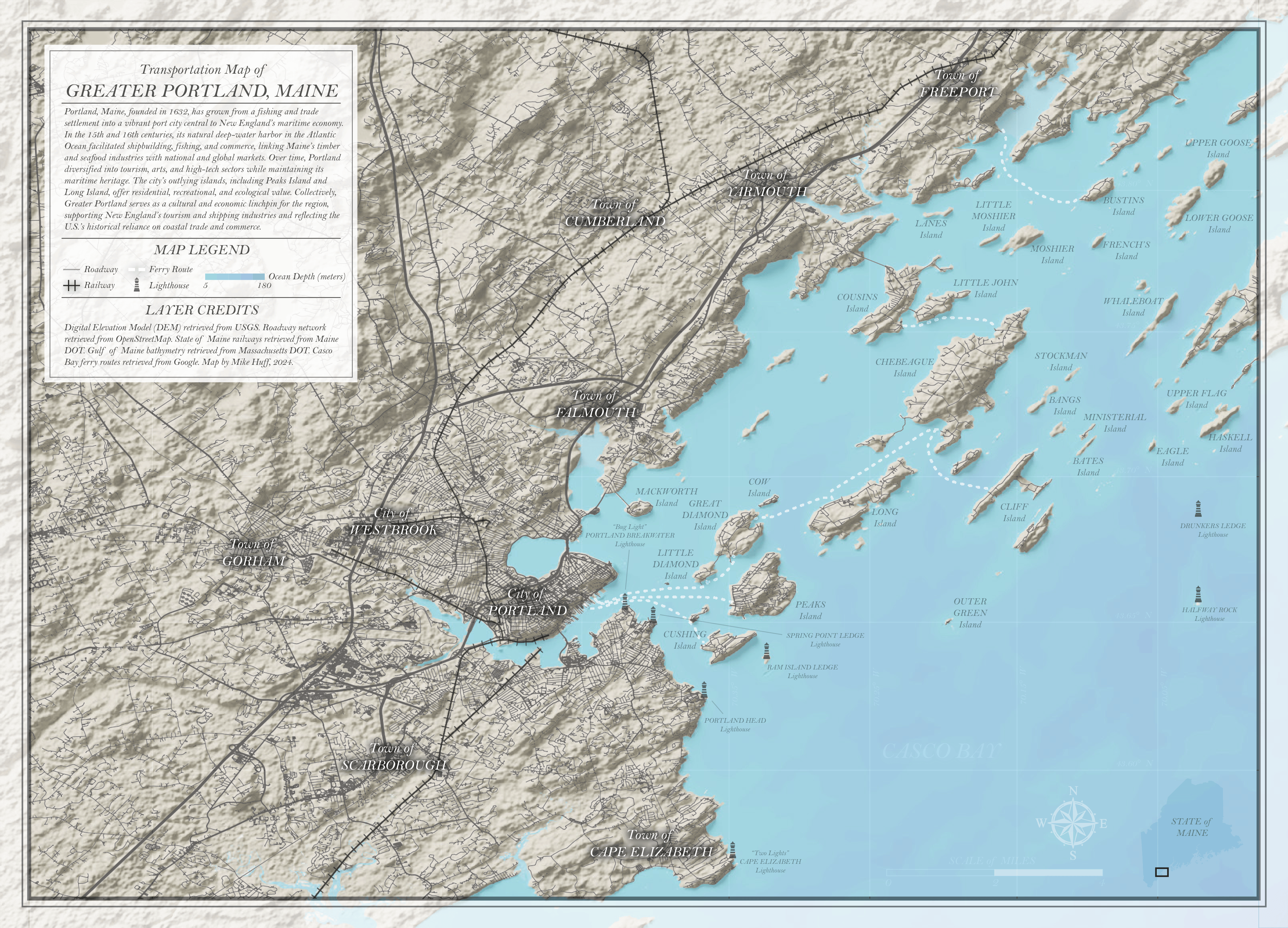
This transportation map of southeastern Maine covers the City of Portland and the surrounding area. It was completed as a practice exercise, looking specifically to be thoughtful and intentional about the following items:
• Overall composition and color profile
• Integrating 3D terrain from Blender into 2D maps and alongside 2D layers
• Setting up visible labeling styles and hierarchies
• Creating bold, clear title blocks/legends
• Integrating/hiding map elements like the north arrow, scale bar, and inset maps in a way that still draws attention to them without distracting from the map
• Including additional data where appropriate or interesting; lighthouses are included because this area is known for them, and bathymetry included due to how it adds another element of interest to the map and can be used to add subtle color grading to the water
All map layers come from ArcGIS Pro; only the terrain was created in Blender using 3D extrusion and orthographic image export
Posting an old one here (made this in 2024) while I work on some new, exciting ideas. Stay tuned!

Leave a comment